Applications

Estuary and Nearshore Habitat Viewer
This map viewer highlights spatial data products developed by PMEP to characterize habitats and synthesize information in support of habitat conservation and restoration goal setting. Most of the data presented in this viewer are available for download below.

West Coast Estuaries Explorer
This application is useful for quickly comparing estuaries to each other along the coastlines of Washington, Oregon, and California. Using dynamic filters and an interactive map you can find estuaries that meet specific criteria; or estuaries that provide habitat for focal species of interest to you.
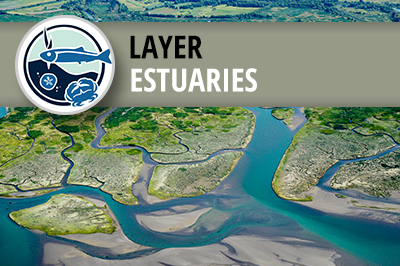
West Coast USA Current and Historical Estuary Extent
This layer represents the current and historical tidal wetlands, or estuary extent, for the West Coast of the contiguous United States.
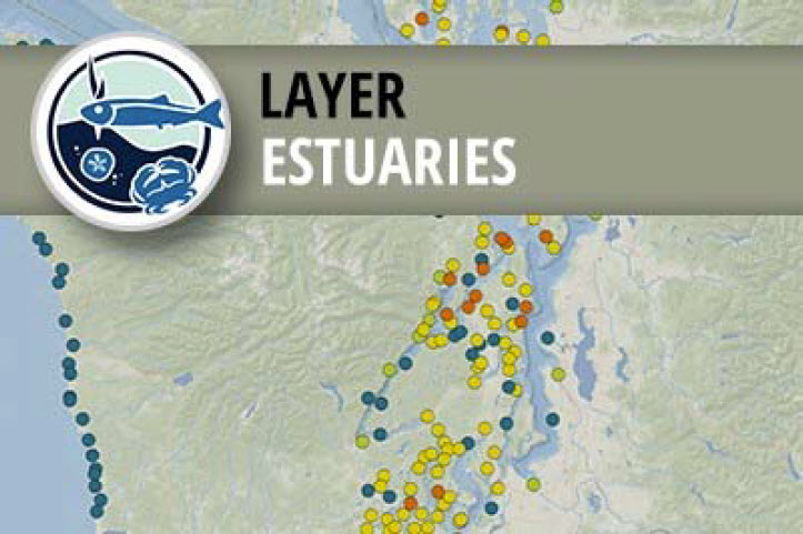
PMEP Estuary Points
This layer represents estuaries, as points, in the Pacific Marine and Estuarine Fish Habitat Partnership's (PMEP) spatial data system.
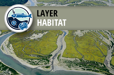
West Coast USA Estuarine Biotic Habitat
These data represent the Biotic Component (BC) of the Coastal and Marine Ecological Classification Standard (CMECS) for estuaries of the West Coast of the contiguous United States.
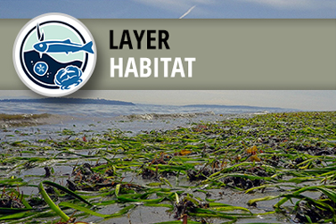
West Coast USA Eelgrass (Zostera sp.) Habitat
This package of map layers represents the presence and maximum observed extent of eelgrass (Zostera sp.) habitat on the West Coast of the United States (Washington, Oregon, and California), based on the best available existing spatial data showing the current and historic extent of eelgrass in the region.
Indirect Assessment of West Coast USA Tidal Wetland Loss
This map layer provides an indirect estimate of emergent, scrub-shrub and forested tidal wetland losses for 55 estuaries spanning the contiguous United States West Coast. This dataset also incorporates information on restored tidal areas within those 55 estuaries.
West Coast USA Nearshore Zones
This layer subdivides the marine waters of PMEP’s scope into zones based on depth (-30 m, -100 m, and -200 m or the state boundary line, whichever is deepest) and 18 sub-regions integrated within four ecoregions.
West Coast USA Nearshore CMECS Substrate Habitat
These data represent the Substrate Component (SC) of the Coastal and marine Ecological Classification Standard (CMECS) for nearshore habitats on the West Coast of the contiguous United States.
West Coast USA Nearshore CMECS Biotic Habitat
These data represent the Biotic Component (BC) of the Coastal and marine Ecological Classification Standard (CMECS) for nearshore habitats on the West Coast of the contiguous United States.