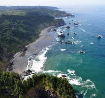
PMEP is expanding its spatial data framework to include nearshore areas and developing a ‘State of the Knowledge’ report on West Coast nearshore habitats.
PMEP is seeking spatially interpreted data (in either vector or raster format) identifying nearshore fish and invertebrate habitats (substrate, biotic, and water column component). We are placing a priority on datasets with a large spatial footprint that consistently map a habitat feature or features for large segments of the coast (preferably 10’s to 100’s of kilometers). For this project, PMEP is identifying the core nearshore as the upper end of the splash zone to -30m depth. In addition, PMEP is requesting data that extends beyond -30m to -100 (Seaward Zone) since many nearshore fish and invertebrates use habitats deeper than -30m. We are not currently looking for data from estuaries, however, we are looking for data for the nearshore of Puget Sound while recognizing that the Sound itself is classified as an estuary. For a full description of this request and a list of datasets already in hand, see PMEP_NearshoreDataCall.
If you would like to contribute to this effort, contact PMEP Data Steward, Kate Sherman, at info@pacificfishhabitat.org or 503-595-3100 by January 31, 2020.