
Category: Data and Assessments
-
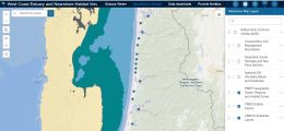
PMEP Launches New Data Viewer
PMEP’s new West Coast Estuary and Nearshore Habitat Viewer is available now. Launched at the recent American Fisheries Society meeting, this new interactive tool combines our estuary datasets with our new nearshore habitat datasets into one easy-to-use platform. The Viewer supports users importing their own spatial data as well as data readily available at ArcGIS…
-
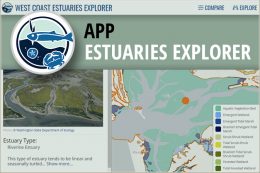
PMEP Estuary Explorer and Estuary Viewer Data Tools Training
PMEP and the South Slough National Estuarine Research Reserve (SSNERR) are teaming up again to host the second training session for the PMEP Estuary Viewer and Estuary Explorer online mapping tools on April 5th and 6th. This training will be held from 10 am to 12 pm over two days, with a $10 registration fee. Participants must be able to attend both days.…
-
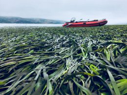
PMEP Releases U.S. West Coast Eelgrass Restoration Synthesis Report
PMEP is proud to announce the release of Eelgrass Restoration on the U.S. West Coast: A Comprehensive Assessment of Restoration Techniques and Their Outcomes. Eelgrass is an important foundation species along the U.S. West Coast, supporting a suite of ecosystem services and functions and providing food and shelter for many fishes and invertebrates. In 2018, PMEP…
-

Barriers to Tidal Connectivity Project HUB Site
PMEP, in collaboration with the California Fish Passage Forum and the Pacific Lamprey Conservation Initiative, has launched a new Barriers to Tidal Connectivity data hub of resources developed through a collaborative project to improve our understanding of tidal connectivity issues along the US West Coast. The data hub includes a data catalog of West Coast…
-
Restored Tidal Estuaries Report Now Available
The Pacific Marine and Estuarine Fish Habitat Partnership (PMEP) is pleased to release its Restored Tidal Estuaries Report. The report documents the methods and results of a mapping project undertaken to update its tidal wetland loss assessment to include areas where tidal connectivity and inundation have been restored. PMEP mapped 127 tidal re-connection projects across…
-
PMEP Issues Call for Nearshore Datasets
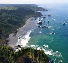
PMEP is expanding its spatial data framework to include nearshore areas and developing a ‘State of the Knowledge’ report on West Coast nearshore habitats. PMEP is seeking spatially interpreted data (in either vector or raster format) identifying nearshore fish and invertebrate habitats (substrate, biotic, and water column component). We are placing a priority on datasets…
-
PMEP West Coast Estuaries Explorer added to NOAA Digital Coast
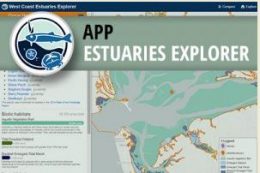
The Pacific Marine and Estuarine Fish Habitat Partnership’s Estuaries Explorer data tool was recently added to the NOAA Digital Coast website. The Estuaries Explorer application enables you to explore the estuaries of Washington, Oregon, and California and compare them to each other. You can combine dynamic filters and an interactive map to find specific estuary…