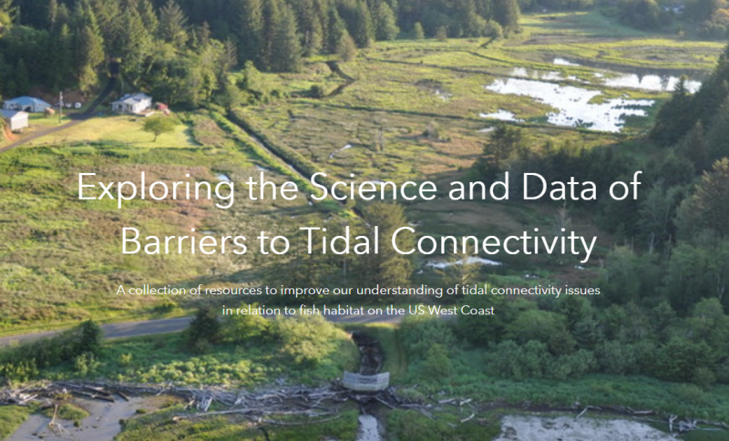
PMEP, in collaboration with the California Fish Passage Forum and the Pacific Lamprey Conservation Initiative, has launched a new Barriers to Tidal Connectivity data hub of resources developed through a collaborative project to improve our understanding of tidal connectivity issues along the US West Coast.
The data hub includes a data catalog of West Coast datasets of culverts, tide gates, levees and dikes, railways, and roads as well as maps identifying tidally restricted areas. This innovative data catalog assembles datasets managed by a variety of agencies including California’s Passage Assessment Database (PAD), Oregon’s Fish Passage Barriers, Washington Department of Fish and Wildlife Fish Passage Inventory, and the Washington Levee Inventory. Viewers can access all these datasets and visualize the extent of barriers to tidal connectivity for purposes of restoration, research, and planning.
Through the data hub, you can also access copies and recordings of presentations given at the recent Barriers to Tidal Connectivity Symposium held October 28, 2020. And other resources and reports can be accessed through the hub.
This data hub is a product of a collaborative effort by the three fish habitat partnerships made possible with generous support from the Association of Fish and Wildlife Agencies.
You can find out more on Barriers to Tidal Connectivity on the PMEP website by clicking on the projects tab, or you can head directly to the data hub here.