PMEP is delighted to announce that the State of the Knowledge of U.S. West Coast Nearshore Habitat Use by Fish Assemblages and Select Invertebrates report and data products are now available!
PMEP has compiled standardized spatial data on nearshore habitats within defined nearshore zones to reflect what we know about nearshore habitat classification and extent along the entire U.S. West Coast. PMEP developed the Nearshore Project with three main objectives:
- Define and map boundaries for delineating nearshore zones along the U.S. West Coast.
- Compile and standardize spatial data on nearshore habitats within defined nearshore zones.
- Produce a state-of-the-knowledge report on U.S. West Coast nearshore fish and invertebrate habitats.
Nearshore areas are delineated by PMEP ecoregions, which include the Salish Sea, Pacific Northwest, Central California, and Southern California Bight. Each ecoregion section describes the habitats by nearshore zones, fish assemblages, and invertebrate use. Nearshore habitat data from multiple sources was standardized using the Coastal Marine Ecological Classification System (CMECS).
The report and data products provide a baseline for investigating changes, shifts, and adaptations of habitats for nearshore marine species along the entire U.S. West Coast. The geodatabase includes feature classes of nearshore zones and biotic and substrate habitat layers, and the data products are designed for use by resource managers, restoration practitioners, and researchers.
Please check it out!
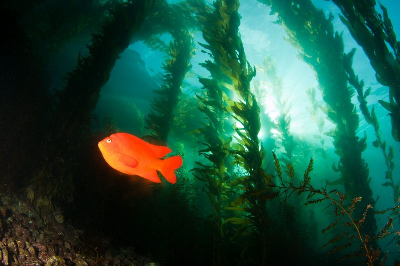
Photo credit: A. Obaza, Paua Marine Research Group